

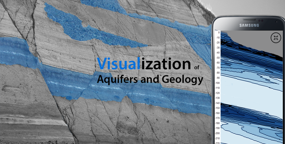
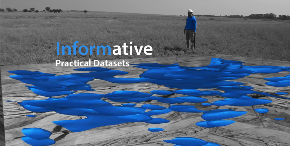
We develop software-based geophysical tools for groundwater exploration
ATS has been developing and testing the GeoSuite set of technologies for the past 12 years and are now ready to bring these innovations to the world at large. The GeoSuite App is designed to deliver high-end, easy-to-use geophysical tools to global market sectors which rely on Groundwater for their existence. These sectors include the rural development, water supply, agricultural and environmental sectors.
What we Do

We develop software-based geophysical tools targeted at groundwater exploration.
The ATS GeoSuite App can:
- Locate and quantify aquifers and groundwater resources
- Delineate variations in groundwater salinity
- Define a site's geology and lithology
- Locate and define geological structures, such as dyke and sill formations
- Delineate geological formation interfaces
- Delineate geological faulting structures under a site
- Locate fractured geological formations under a site
- Delineate geological formation clay content
- Measure soil resistivity
- and much more.
What makes us different?
The use of geophysics to conduct groundwater exploration is not new. For decades people have been using geophysical technologies such as resistivity, electro-magnetic and magnetic methods to reduce groundwater development risks and costs. However, these technologies do not generally cater to the average user who wants to find groundwater themselves. The reason for this is that geophysical technologies can be technically challenging and often costly.
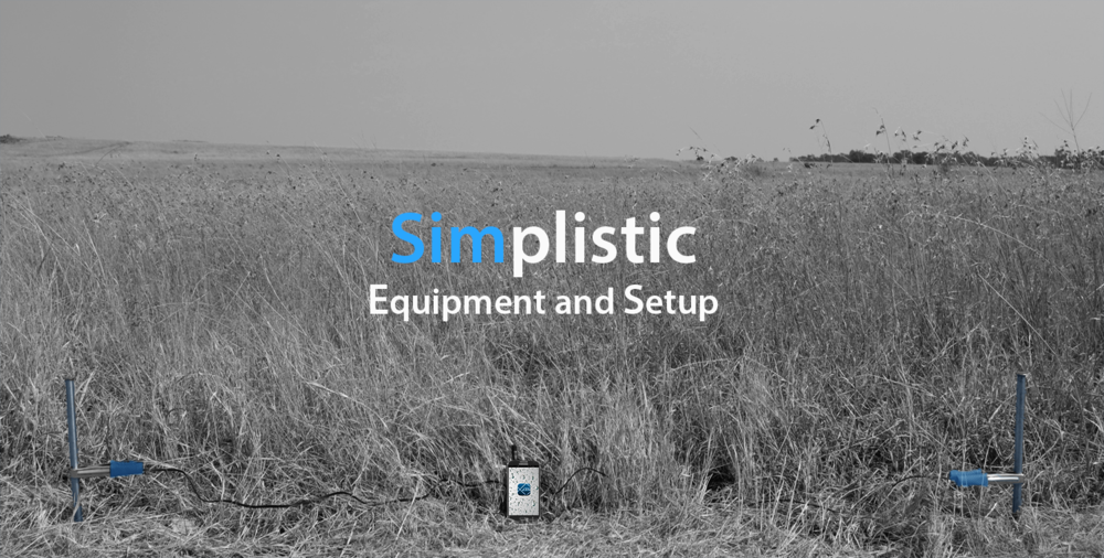
This is where our project is different. The ATS GeoSuite App is designed to be the every-man's toolbox for groundwater exploration. The GeoSuite App includes electro-seismic, resistivity and magnetic geophysical technologies in one easy-to-use, portable package. Everything you need to find groundwater is on your phone. Even the hardware consists of low-cost, off-the-shelf products. The GeoSuite App has been designed to fully automate all the complex processes required by geophysical systems to produce a result. This make it possible for people with no experience in geophysics to collect, process and visualize their sites' groundwater systems.
Our challenge
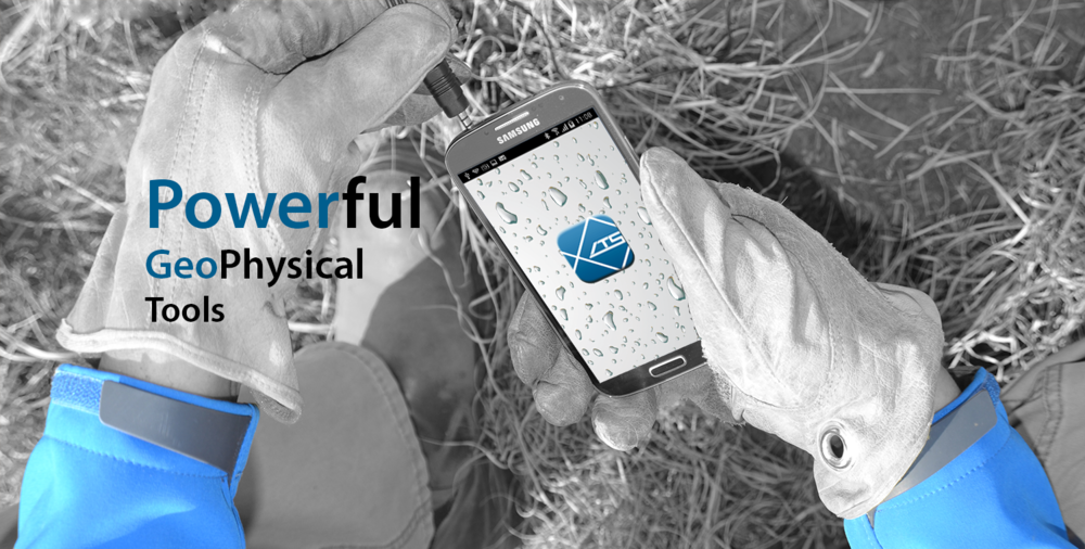
Our challenge was to develop a suite of geophysical tools for groundwater exploration, that would effectively run on a portable smartphone device, without any additional specialized hardware. This system would have to be so simple to operate that literally anyone, anywhere, could use it to find groundwater.
The ATS GeoSuite App is the culmination of our efforts to make such a product a reality.
Our goal
Our goal is to provide our powerful, portable and easy-to-use geophysical tools to anyone who needs to find groundwater.
Not only do we want to make geophysical tools easy to use, but cost effective too. All our Apps provide the user with free processing of survey points that do not exceed 50 meters, or 165 feet, in depth of investigation.
Our commitment
ATS is truly committed to being part of the solution toward alleviating the global concern of clean water access. To this end, our policy is to supply a processing point, for everyone purchased, to non-profit organizations (NPO) dealing in groundwater development. In so doing, we are making our technology available to those who need it most.
What we achieved
What we succeeded in developing is a practical set of geophysical tools which provide actionable information for groundwater exploration. These tools can be used by anybody, anywhere in the world.
The GeoSuite App provided set of technologies is designed to provide transparent, easy to understand data sets that integrate well with other geophysical data collected by other geophysical equipment.
The point here is to reduce the risks involved in groundwater exploration by using a multi-faceted approach to exploration. What we are aiming for is a data set that is similar to what you would find in a driller's well log. So, in essence, a GeoSuite data set is in many ways a virtual borehole log. All the information you need at a specific location concerning the geology and geohydrology is obtained without actually drilling the hole.
Simplicity is our aim. We made something as complicated as geophysics, as easy as operating a mobile App. This was only possible by automating the majority of the complex processes needed to produce results in a geophysical survey.
In essence, all a user really needs to do is tell the App where information is to be collected, and automated software takes care of the rest.
Release Date ( April 2016)
We are releasing the Android version of the GeoSuite app to the Google play Store in April 2016. Please follow us on Facebook or twitter for updates. The iOS release is scheduled for July 2016.
Kickstarter Campaign
We are starting our Kickstarter Campaign this month. If you are interested in backing us and benefiting for some fantastic Early Bird offers on the GeoSuite App and point packages, please visit our Kickstarter Site. Details to be release within the next week or so on our website, Facebook page and twitter.

The GeoSuite App


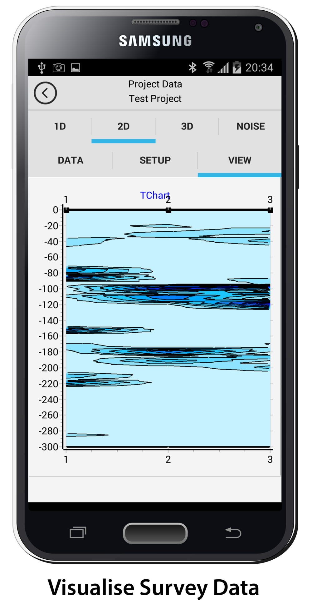





The GeoSuite App is a complete software solution for groundwater exploration using geophysical methods
The GeoSuite App includes full functionality for :
1) Account setup and Device registration
All a user needs to set up an ATS account and register a GeoSuite Application is built directly into the GeoSuite App. There is no need to login to a Web based registration site to set up a mobile device.
2) Survey setup
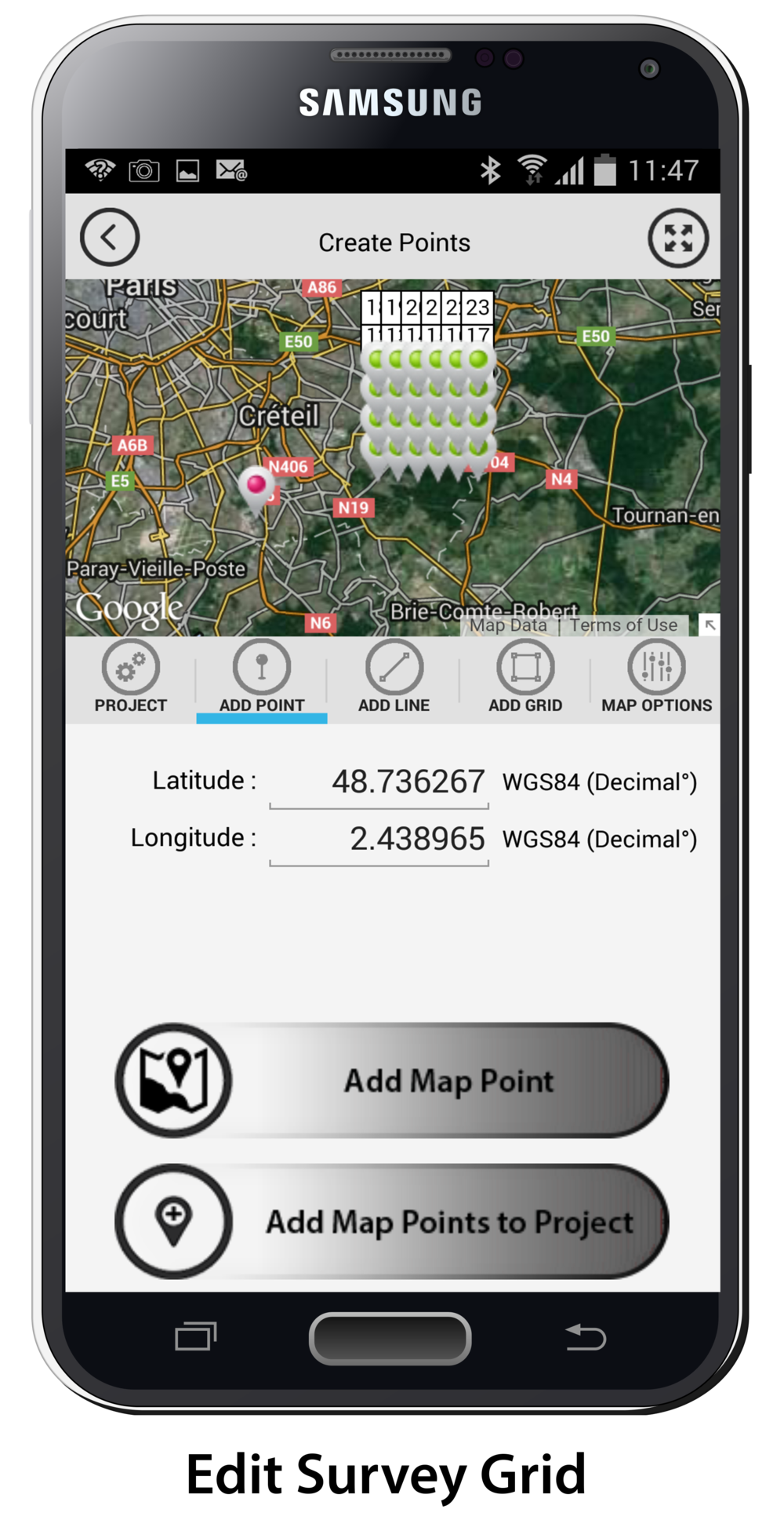
A full set of functions are built into the GeoSuite App which allows the user to visually plan and design a survey grid, before a survey is commenced. This is accomplished by a touch interactive Google Maps interface which allows the user to create single points, a profile line of points, or a 3D grid point layout. All points are completely editable after creation and can be moved or deleted by the user at any time. Once a survey grid is set up, all the points and point files are set up and saved for later use.
The GeoSuite App provides a full set of functions to build custom seismic velocity models applied to sites. There is also a set of in-built standard seismic velocity models that can be used or edited by the user.
3) Acquiring Field Data
Once on site, finding the location of the survey points could not be easier. The GeoSuite App has built-in functionality that will guide the user to a set up point location. Once at the survey point location, the user can initiate a point data acquisition. This process is fully automated. The App will check if your cables are functioning correctly, measure the site noise characteristics, inform the user if there is a problem, and record all the necessary GPS and soil resistivity data needed to complete a survey at a point location. If everything checks out, the user can initiate the data acquisition process. This will collect the magnetic, electro-seismic and magnetotelluric data at that point. All the data is automatically filtered, extracted, correlated and stacked within a matter of seconds without any user intervention.
Internet connectivity is not required to acquire, visualize or edit raw field data.
4) Editing Field Data
Once the data is acquired, the user can immediately visualize the raw data and determine if the survey data is of good quality though a set of quality control variables, calculated by the GeoSuite Application. The App has functionality that allows the user to fully edit the collected data. Once the user is satisfied that the data acquisition is up to standard, the data can be saved for later processing. At any point in time, the user can edit any project point data.
5) Processing Field Data
Processing data after a survey is completed could not be easier. The user simply selects which points need to be processed, then presses start. The entire processing process is fully automated with no need for any user input. In total, 25 unique and 20 synergistic data sets are processed for use in site analysis. Additionally, 17 unique quality controls are available to the user to determine the quality of the processed data and risk included in a survey result. All processed data is stored on the mobile device for access by the user at any time regardless of cloud connectivity.
The GeoSuite App is currently capable of processing data to a maximum depth of 100 meters to 600 meters, depending on the seismic source used and the seismic velocity model for any given site.
6) Analyzing, Visualizing and Interpreting Processed Data
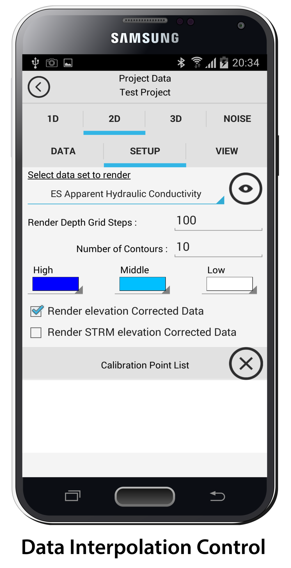
The GeoSuite App has built-in functionality to visualize all of the processed data sets in 1D, 2D and 3D formats. Full control of the interpolation variables and chart functions is provided to the user, so custom results output can be built within the App. The App has a full set of data calibration functions that allows the user to visualize the data in real-world terms of permeability, etc. A well yield tool is provided to estimate well yield at any given point. The tool allows for the implementation of screen effects and targeted formation screening.
7) Exporting Data
All data sets are exportable to industry standard comma delimited ( CSV ) format files that the user can import into third party data visualization tools for further interpretation and reporting.
8) Data Back up
The GeoSuite App provides direct access to the most popular cloud storage services to back up project point data.