Import KML File Data
This is a feature new to the ATS GeoSuite App Version 1.1.4 or higher.
This function allows the user to import point location data using the KML file format that can be generated in Google earth or Google Maps.
This software feature allows the user to design the layout of a project on Google Earth or Google Maps using a larger desktop type screen environment, then import the coordinate data of the project points directly into the GeoSuite App via a KML format file. KML format files can be generated directly within Google Earth or Google Maps.
Currently, KML files with only point data, is supported by the import function.
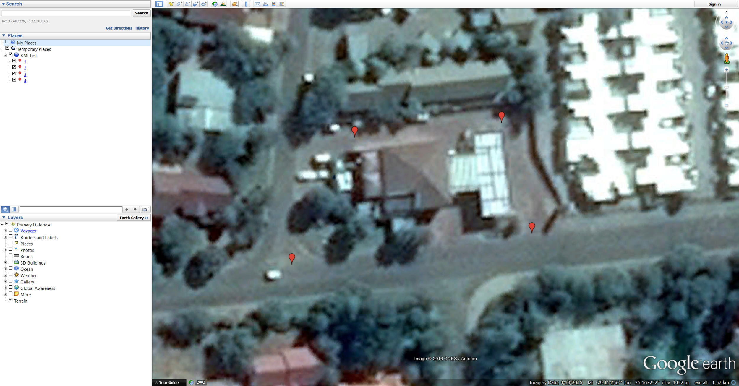
To import KML file data, first create a KML file with point coordinate data on Google Earth or Google Maps.
Now copy the generated KML file into the "Documents/ATS Import Folder" on your device. The folder is created by version 1.1.4 of the GeoSuite App when it is installed. In this case, the KML file is called "ATSDemo.kml"

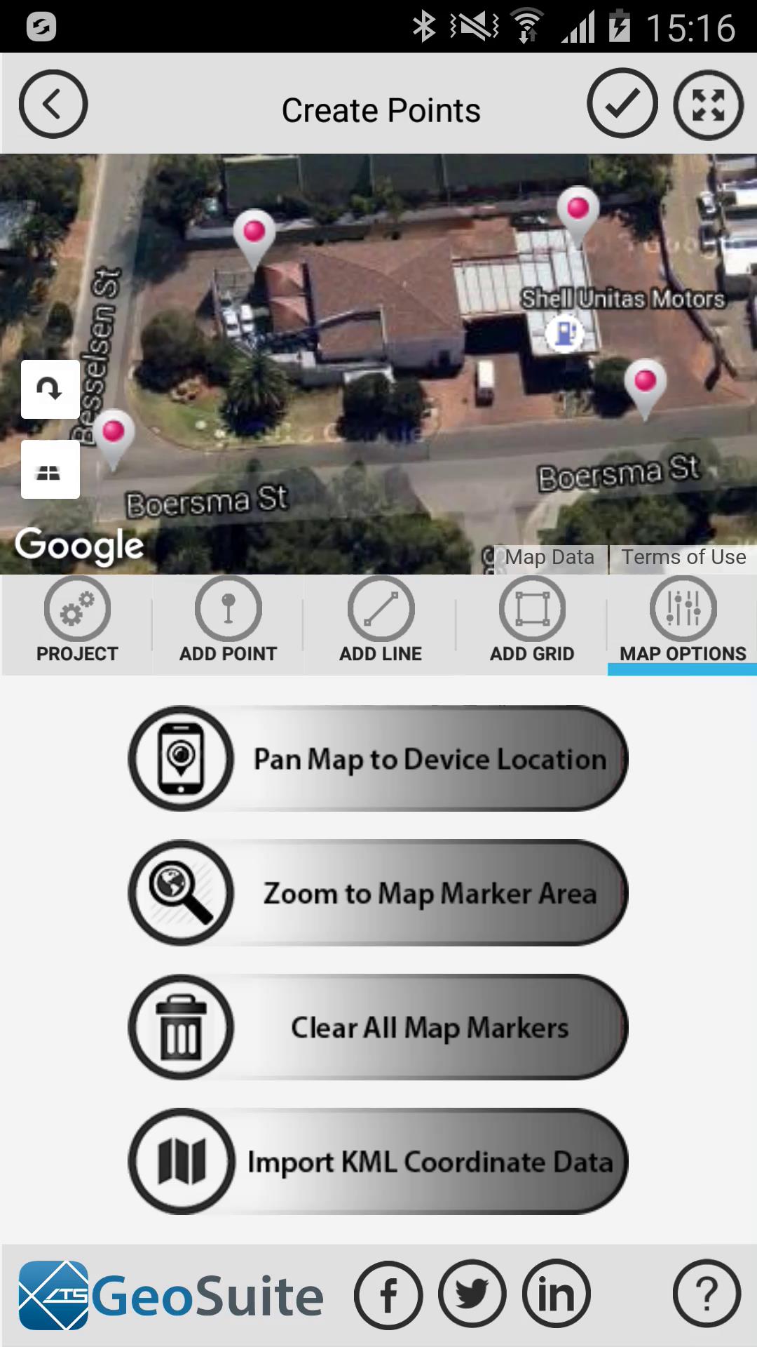
Once the KML file has been copied to the "Documents/ATS Import Folder" on your device, start the ATS GeoSuite App and select a new or existing project then navigate to the "Create Points" menu under the "Project Data" options.

Under the "Map Options" Tab, select the "Import KML Coordinate Data" option.


Start Import
Select the KML file that you would like to import from the list (In this case the ATSDemo file) then press the start import icon.
The app will inform the user when the import process is complete.

The imported coordinates will now appear on the map.